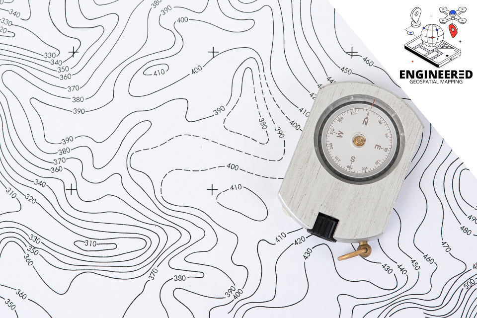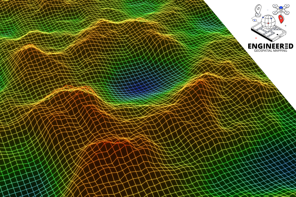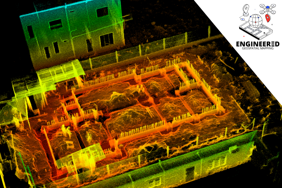
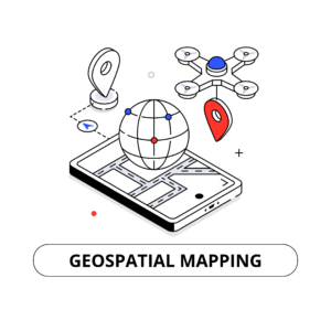
GEOSPATIAL MAPPING UNIT
Our services include
- Topographic Surveying
- 3D Site Maps
- FPV Site Inspection & Monitoring
- Aerial Drone Surveillance
- Cut & Fill Volumetric Analysis
- Stockpile Measurement
- LiDAR Mapping
- As-Built Surveys
For more information on our Geospatial Mapping Unit, visit https://engineered.biz/geospatial